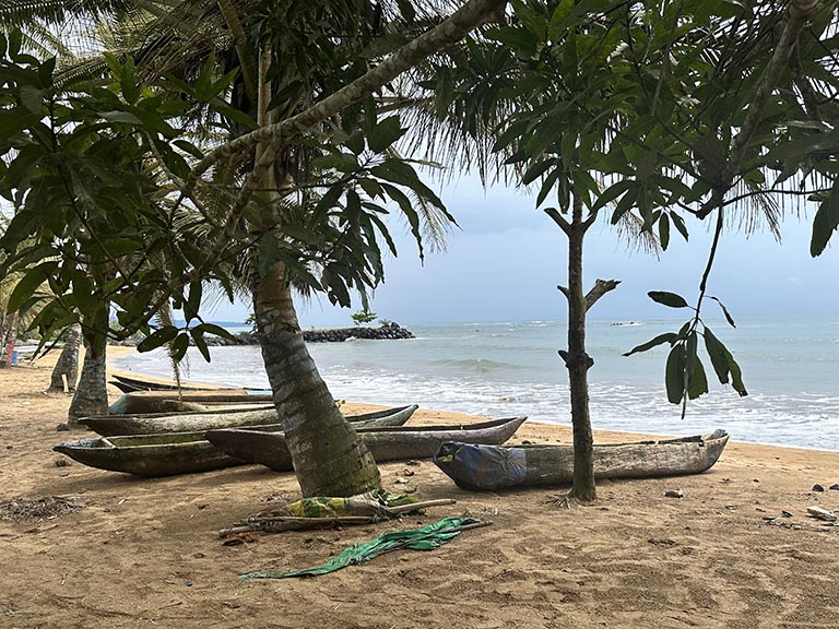
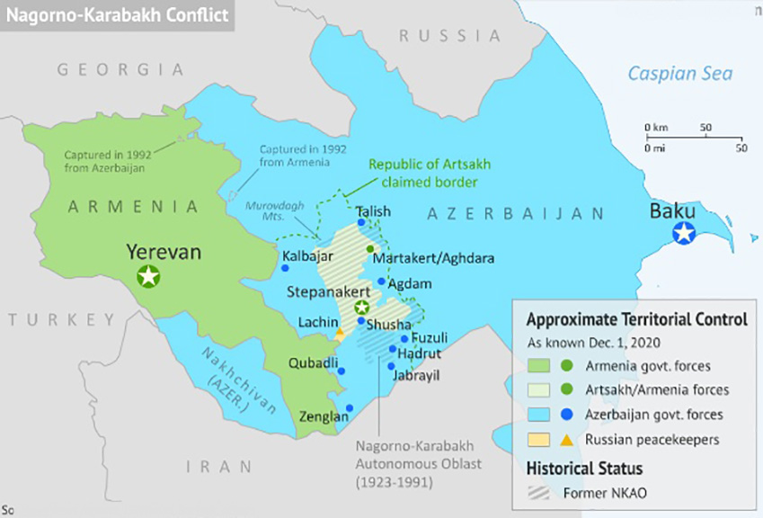
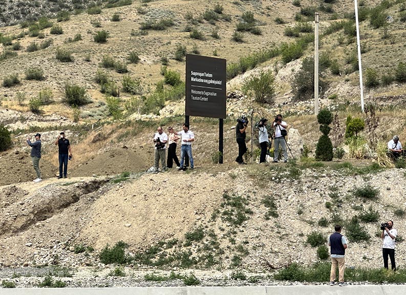
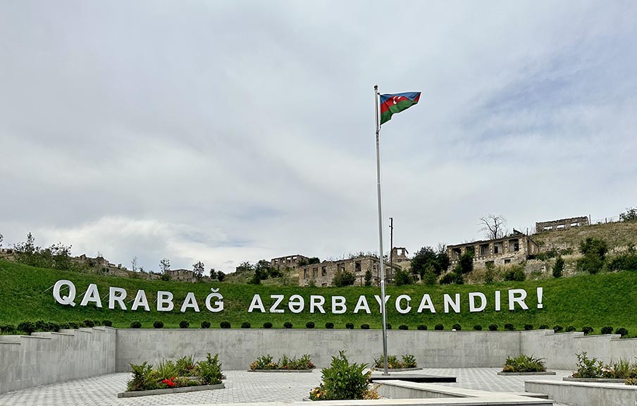
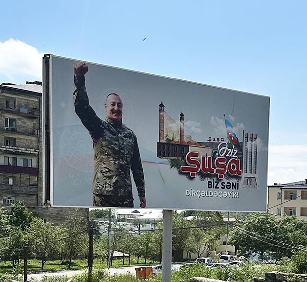
Shusha is situated on an escarpment that forms a natural fortress. The denoument of the 2020 war came when Azeri commandos scaled the cliffs and took the Armenian defenders by surprise. Largely depopulated during the Armenian occupation, the city is slowly coming back to life.

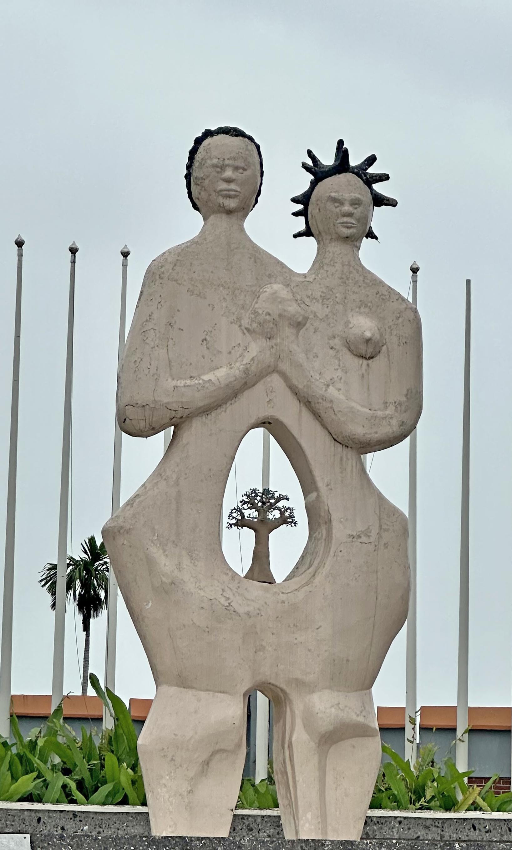
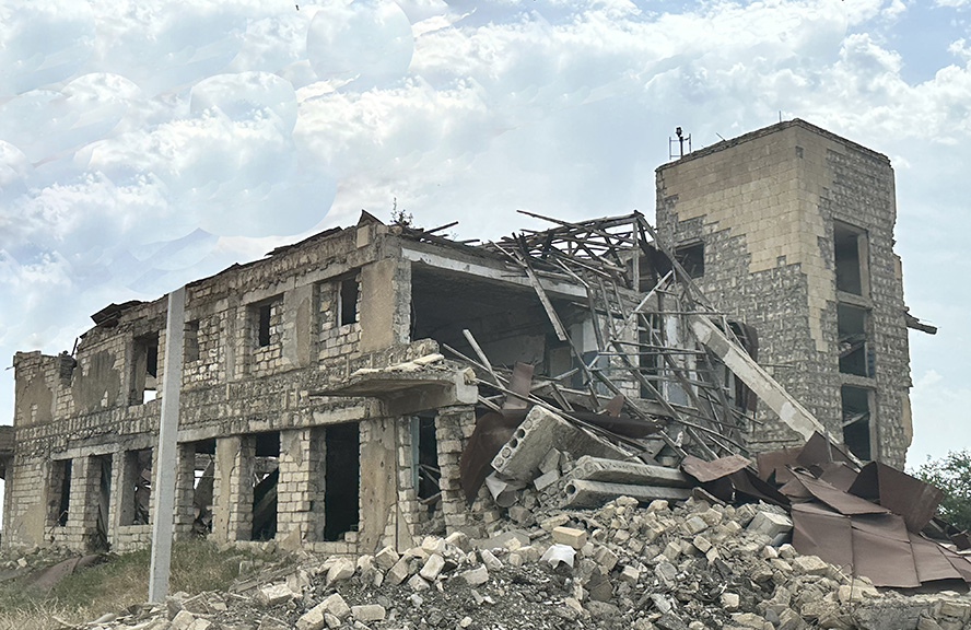
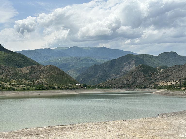
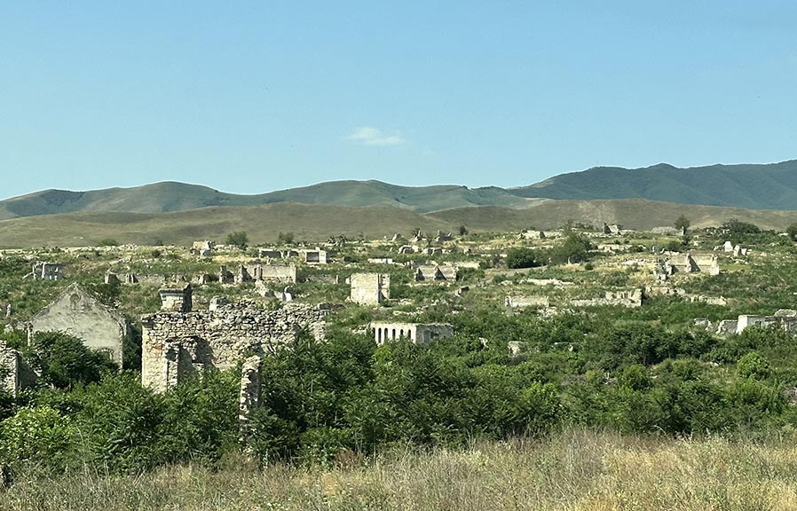
There are Soviet-era giant statutes and an Ottoman fort. Beneath the commanding heights lies Stepanakert (a/k/a Khankendi, its Azeri name), capital of now considerably-reduced Artsakh. And not far beyond is Agdam, the first place we visited.
|
|

|
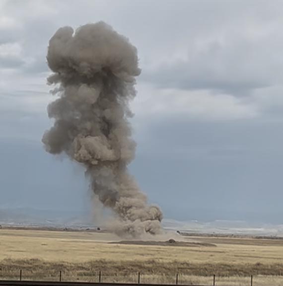
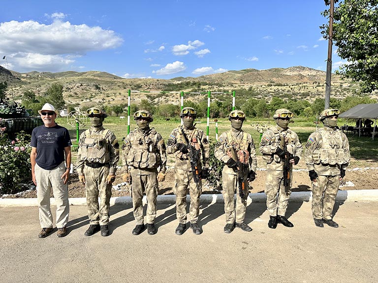
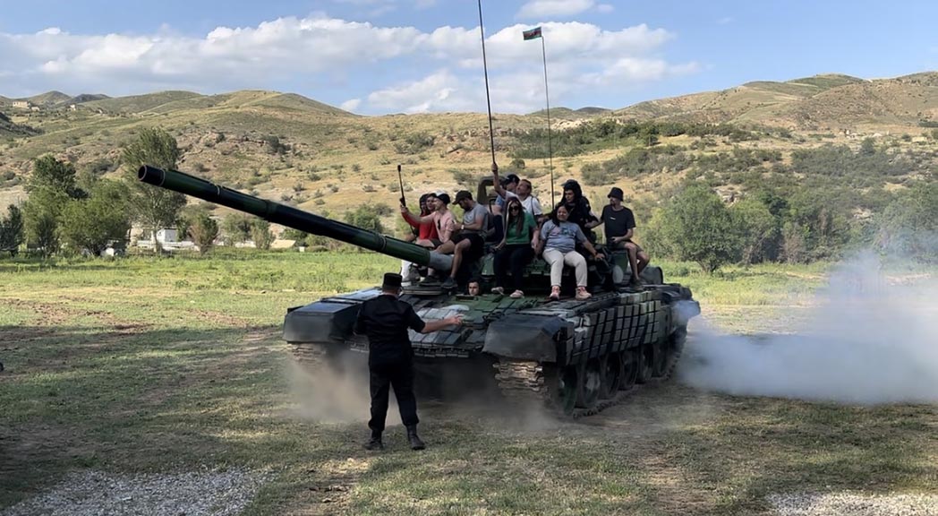
After Shusha we visit an army encampment, where we get to play with their toys, shoot guns, and ride on tanks, followed by a delicious catered meal.
We are supposed to spend the night at the camp, but the tense situation dictates another change of plans.
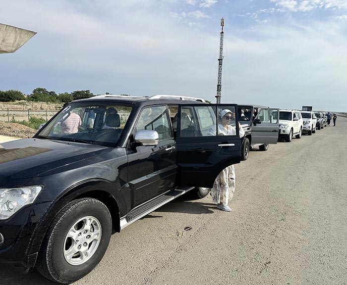
is The best choice it seems is to drive through the night to Baku and our five-star hotel. At least the roads are good and our vehicles comfortable and capacious.
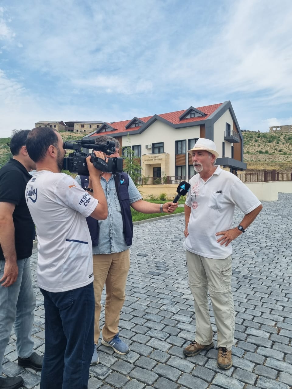
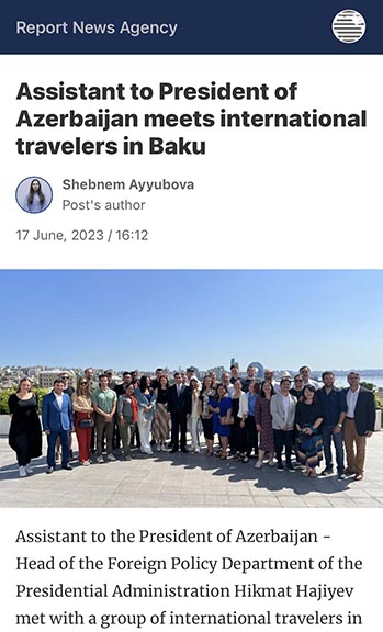
After time to shower and change, we meet with an important government official, a chief advisor to the president. He is personable, urbane, fluent in English, and media savvy. His aim for us to take the message home that Azerbaijan is not the bad guy. Although these trips are castigated by Armenian keyboard warriors as propaganda tours, I do not need to be further convinced; I have seen for myself.
There is a farewell dinner, after which we begin to disperse. Some of us are moving on to the next MTP event in a very different venue, central Africa.
Part II -- No politics allowed
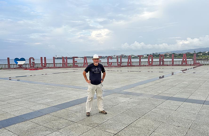
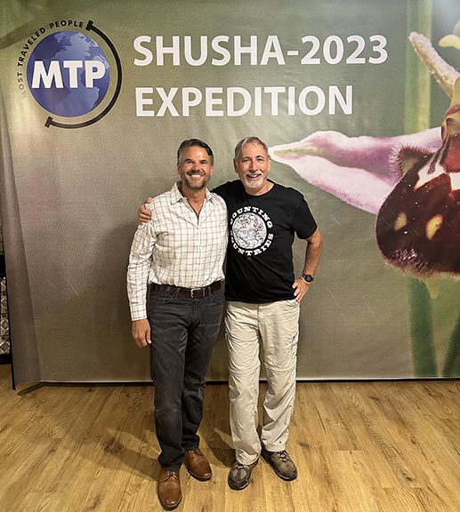
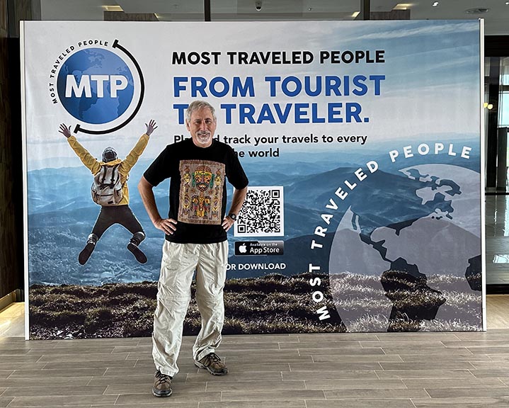
What the two halves of this trip have in common is Charles Veley, the world’s most traveled human. He invited me and was the leader of the Karabakh expedition. He is also founder of MTP – Most Traveled People – an organization dedicated to “systematic travel”, another term for visiting every country and territory on earth. The first-ever MTP conference will be taking place in Equatorial Guinea. (This is similar to but distinct from the Extraordinary Travel Festival I attended last Fall in Armenia. That was organized by Nomadmania a travel club that is a friendly rival.) A principal reason for the venue is that Equatorial Guinea has been, until now, a notoriously difficult visa to obtain.
One reason that you have probably never heard of the country is that, on a two-page atlas map of Africa, Equatorial Guinea is hidden underneath the staple. Formerly the colony of Spanish Guinea, it is the only Spanish-speaking country in Africa. Its capital, Malabo, is on the island of Bioko (the former colony of Fernando Po) in the Gulf of Guinea. (Bioko forms a line with Sao Tome and Principe, formerly Portuguese islands now the smallest country in Africa.) Apart from Bioko and Annobon islands, the country is also encompasses a chunk of the African mainland, the former Spanish colony of Rio Muni.
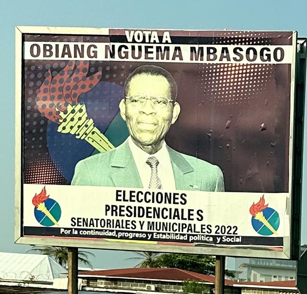
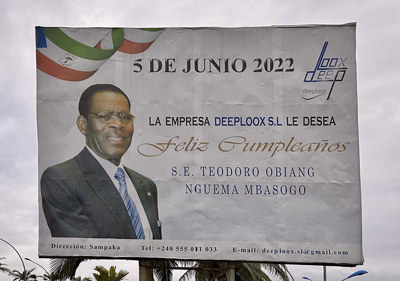
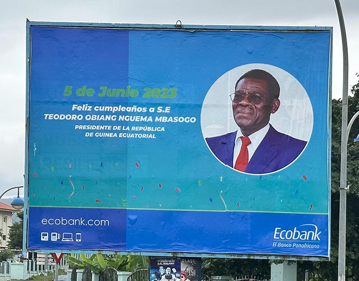
Thanks to offshore oil (and Exxon), the nation is quite rich, but the people are not. As in much of Africa, the wealth benefits the ruling elite. The president, in office since 1979, is the world’s longest-serving leader. Freedoms are almost non-existent: permits are required to visit anywhere, checkpoints ubiquitous, and taking pictures of government buildings (which is all of them) prohibited.
This only permitted political activity is congratulating the president, thanking the president, and urging his reelection (not much doubt there!) On exiting the airport there is a tollbooth at which I quip “now comes the contribution to the presidential campaign fund.” Sure enough, plastered to the side of the booth is an election poster with his smiling face.
I have a free day to tour the island.
The democratic pantomime does benefit the people in one respect: free T-shirts at election time. Our tour guide obtains for me a very nice polo shirt, probably designating a precinct captain, and now a cherished souvenir.
The next day we fly to Bata, the principal city on the mainland, where we are met and driven to the conference hotel. Completely alien to this part of the world is the road to get there: a hundred mile long, four-lane divided highway. Devoid of other traffic, it widens to eight lanes at a toll plaza. The booths are unmanned, but someone wanders over to attend to our vehicles. In other spots makeshift checkpoints consist of a bamboo pole leaned against a tire.
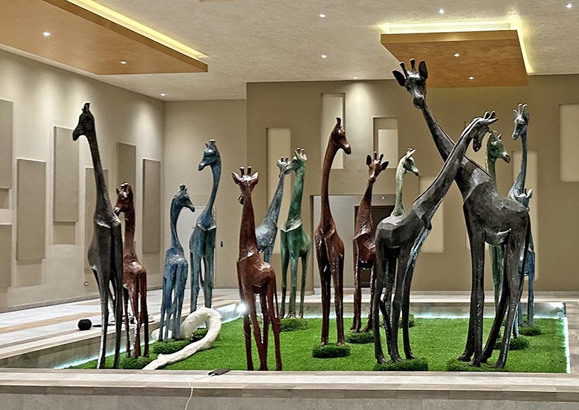
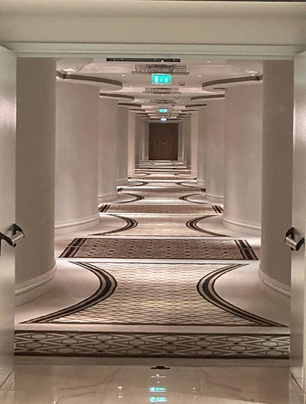
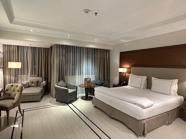
Our destination is the Grand Hotel Djobloho in Cuidad de la Paz, a yet-to-be inhabited new capital that is the president’s fever-dream in concrete. The place must be seen to be believed: a 425 room five-star-plus luxury hotel in the middle of the jungle, an 18 hole golf course and fifty presidential villas. All for a someday meeting of the leaders of all the African nations.
Most amazing of all is that despite a dearth of clientele the hotel and surrounds are in tip-top condition. European management and staff maintain the facility and keep service at the highest standards.
<
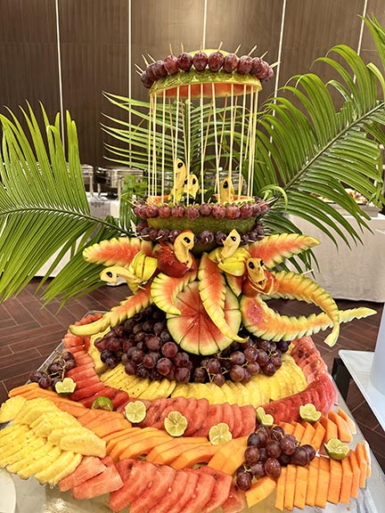
The catering is superb. Every meal is a presentation.
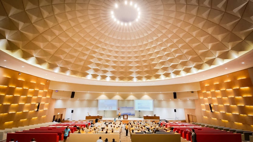
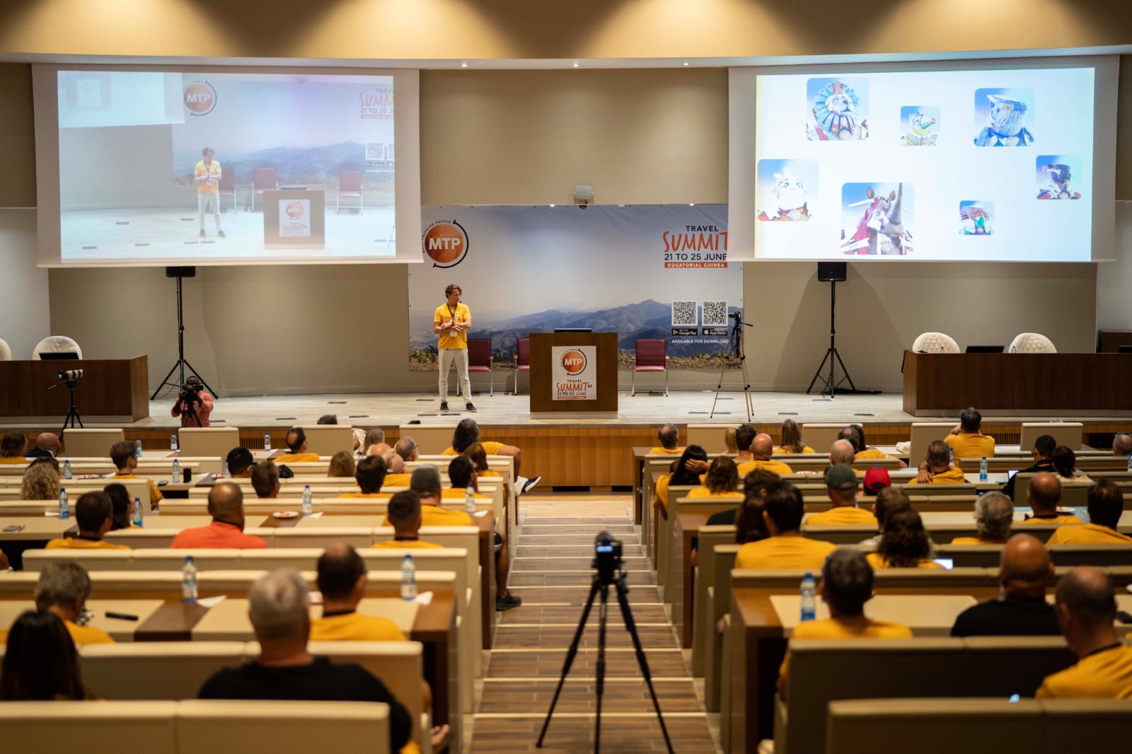
The conference itself is a blast. 145 attendees from 39 countries. 27 UN Masters (those who have been to all 193 UN member countries). Speakers on traveling in danger zones, getting a diplomatic passport, running a luxury hotel in Antarctica, traveling from Denmark to Tanzania on foot, photography tips, traveling into space, etc.
We are the first international conference the hotel has hosted. We enjoy the facilities but are dwarfed by their scale.
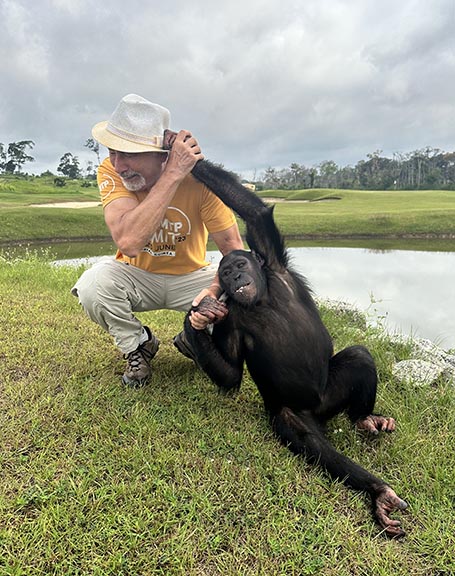
Other hotel amenities include playing with the resident chimps and the occasional stray pangolin.
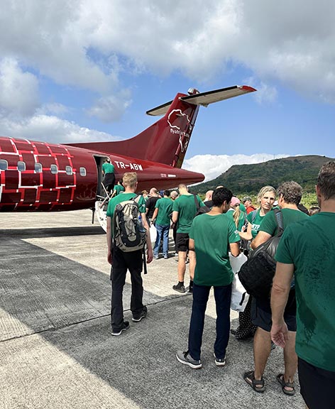
On the third day sixty of us board a charter flight to Annobon Island, the only part of Equitorial Guinea south of the equator. We depart from the purpose-built but otherwise flightless nearby airport (but not its VIP terminal). The ascent affords a view of the hotel complex carved from the jungle.
The island is an extinct volcano. We hike to the lake in the caldera. Not spectacularly different, but an otherwise very difficult place to reach as there are no commercial flights and the journey by ferry from Bioko would take three days. We are back at the hotel by sunset for our final dinner.
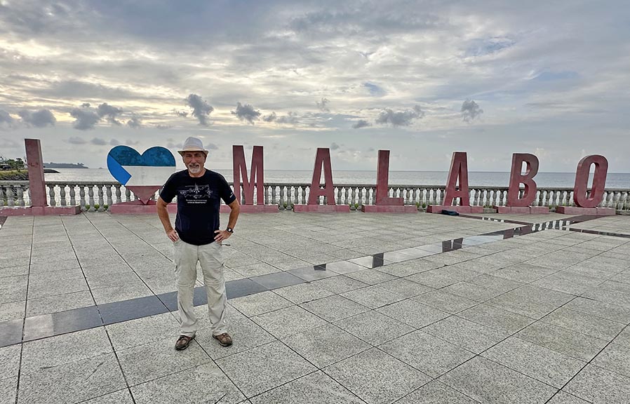
After the conference the participants scatter to resume globetrotting. Some go overland to Gabon. Others to Ethiopia. Still others to Europe, Asia, and beyond. I fly back to Malabo for an overnight stay. Donning my Presidential shirt, I set out for a walking tour of the city. It serves as a cloak of invincibility — no beggers, no hassle, and no police.
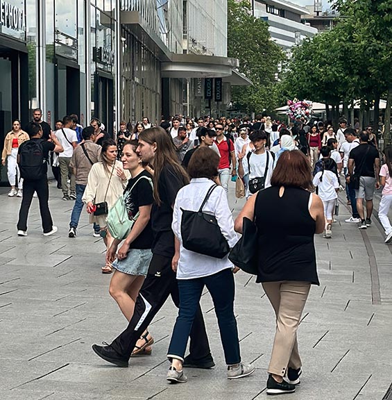
Finally, a summer’s day’s stopover in Frankfurt. Who are all these people on the street?
Why aren't they at work? This is Germany, not Italy or Greece!

Trip date: June 2023


 Part II -- No politics allowed